This is a thread about Bay of Kotor, but also about the hinterland Orjen.

________________________________
Luštica
Fauna of the peninsula includes
hares (hare/), squirrels (ekorn/), hedgehogs (pinnsvin/), bats (flaggermus/),
mongoose (mungo/), tree frogs (frosk/) and jackals (sjakal/) being quite
common. The animals are very shy by day but quite commonly seen at night. The
European golden jackals are particularly interesting. They resemble a small
yellow fox with big ears and can sometimes be seen stealthily hiding in the
undergrowth. They are completely harmless to humans and keep their distance,
but can be heard on some nights calling each other. In the past wild boar (villsvin/)
was relatively common on the peninsula (now exceedingly rare), feeding on
acorns (eikenøtter/) that there are plenty of.

Cove Vesla, one of the places on the outside of the peninsula Luštica
where the Adriatic is licking Montenegro.
_____________________________
Blue Cave - Plava Špilja

|

________________________________
Fortress Arza and the island Mala Gospa

Mala Gospa
Island of Mala Gospa is a tiny
island just off the Arza cape. It is one of the smallest islands in the
Adriatic and most of it surface is taken up by a monastery chapel dedicated to
the Assumption of the Blessed Virgin Mary. The
first written mention of the island dates back to 1508 as St Maria de Sagnic,
while a local legend states that the church that is presently on it is built on
the foundations of an early Christian basilica dating back to the time before
the split of the Eastern and Western Christian churches. The island used to be
inhabited by a very polite priest and his family living on it throughout the
year. If you decide to visit it is recommended wearing more than your swimming
costume, as the whole island is considered a part of the church.

__________________________________
Mamula
Lastavica is the name of
the island where fortress Mamula
was built in the mid 1800's by to Austrian-Hungarian General Lazar Mamula. The island was located until 1947
in the land register to
Dubrovnik, but has since belonged to Herceg Novi.
Yet it was the subject
of some contention during the
dissolution of Yugoslavia in the 1990s. The fortress was used as a prison during
both world wars. From
1942 to 1943, there were at the most 2.332 prisoners
in Mamula and
later on the peninsula Prevlaka
on the Croatian side of the strait. There are stories
of horrible conditions. 871 of the prisoners were
from Herceg Novi. The
others came from other parts of Montenegro, Bosnia and Croatia. A large proportion of the prisoners were women, children and elderly.


________________________________
Mirište Beach

_________________________________
Žanjica Beach

from 2007 and the 1980s


_______________________________
Dobreć Beach, still not quiet inside the Bay of Kotor

_________________________________
Entering the Bay we find the village Njivice on the Northern side,
with the border to Croatia following the horizon up the hill.


__________________________________
The skyline of Igalo next, and the roofs of Old Town Herceg Novi.
But those towns are presented separate in this blog.

Igalo has 4.000 inhabitants (2003).

Herceg Novi has 20.000 inhabitants (2011).
____________________________________
Orjen
The mountain massif Orjen above and behind Herceg Novi offers quite another climate and environment than these coastal towns.

On the road upwards

Village Kruševice

The Subra amphitheatre is amazing with a 500 meter steep wall. The mountain is 1.679 m above sea level, but the highest one in Orjen is Zubački kabao at 1.894 m.

limestone called karst


Orjen seen from Kotor

___________________________________________
Rose
A small picturesque village opposite Herceg Novi town. One of the region's oldest settlements, with the remains of a pre-Roman church. The settlement was inhabited by the Greeks in ancient times, and was destroyed by the Saracens (Arabs) in 867.


________________________________
Bjelila
A small fishing village opposite Tivat, with numerous small inlets between the stone houses. This gives Bjelila a very unique position among the numerous other nice villages along the Montenegrian shores.


__________________________________
Tivat
The town has 10.000 inhabitants and hosts one of the two airports in Montenegro with international flights.

The small island just opposite Tivat, "Gospe od Milosrđa" or "Gospe od Milosti"
with a monastery beleived to orginate from 15th century.

The "flower island" Ostrvo Cvijeće.

The new marina Porto Montenegro where the shipyard was until resently.

The older marina in Tivat.

The beautiful school ship "Jadran" is moored in Tivat.
It was built in Hamburg 1931 and belongs to the navy.


______________________________________
Lepetane
From here the car ferries cross the strait to Kamenari. The name Lepetane is claimed to come from the family Lepetan from Perast who settled here in the 1400s. A popular interpretation spins the name out from the Italian "le puttane" which means joy girls. That gives the tourist industri funny stories about sailors from Kotor tending to make a stop here passing by.

.jpg)
__________________________________
Kamenari
Ferry port on the Herceg Novi side of the strait called Verige. Verige is the Montenegrian word for chain, and one likely explanation is apparently the old army method of stretching an iron chain across the strait to protect Kotor.


_____________________________________
Morinj
A small village offering a very lush vegetation. An old grain mill, now a restaurant with a wonderful park, and a camping site are the main attractions here.


____________________________________
Risan
2.000 inhabitants. The earliest mention of Rhizon dates back to the 4th century BC, as the main fortress in the Illyrian state where Queen Teuta took refuge during the Illyrian Wars. Risan is supposed to be the oldest settlement in the Bay of Kotor. On the Gradina hill, above the famous archeological site of Carine, a fortification is situated containing remains of an Illyrian-Greek acropolis.

Rain water disappears into the ground in this porous karst landscape,
and shows up again as rivers or smaller streams at the most peculiar places.
Some of them in a length of just some meters. Others even below sea level.

One of the local roads above Risan.


The well preserved mosaic floors from Roman period
in the 1st and 2nd Centuriesis are just amazing.
_________________________________
Perast
Only 349 inhabitants in the last census. The town's sixteen Baroque palaces were mostly built in the period of Venetian rule until 1797, as were its seventeen Catholic and two Orthodox churches.

Perast clinging on to the steep mountain St. Elijah (873 m) above.
Photo taken through Verige strait from the Ferry Kamenari-Lepetane.
Photo taken through Verige strait from the Ferry Kamenari-Lepetane.

The old town of Perast does not have a defensive wall like most others here,
but instead it has nine defensive towers.

Near Perast there are two islets: Sveti Đorđe (St. George) and Gospa od Škrpjela (Our Lady of the Rocks), and each has a picturesque chapel. Gospa od Škrpjela is particularly interesting given that it was built upon a rock (Škrpjel) after two Venetian sailors from Perast found a picture of the Virgin Mary on it in 1452.
__________________________________
Orahovac
One of the settlements along the road from Perast to Kotor. Here is also an old grain mill turned into a nice restaurant. This short river streaming out from the bottom of the massive mountains is called Ljuta (angry).

________________________________
But there is a good reason to cross over the bay to the strait Verige again. The road from there to Kotor has the most beautiful sceneries.


__________________________________
Stoliv


_________________________________
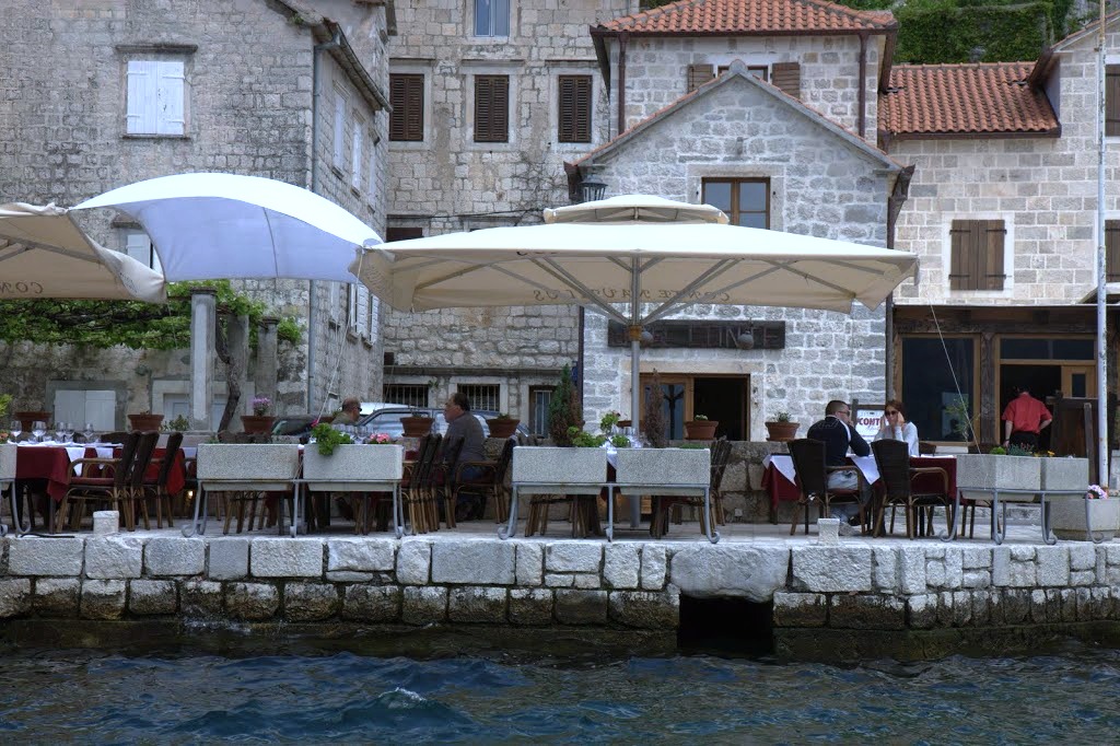
Prčanj
1.244 inhabitant according to census 2003. Architecture in Prčanj bears witness to its prosperity in the 17th and 18th century. The town's waterfront consists of a long line of stone villas, unified by their beautiful facades and separated by gardens and olive orchards. The most impressive feat of architecture in Prčanj is the Birth of Our Lady church. It seems out of proportion to the number of inhabitants and took 120 years to build (1789–1909).


______________________________________
Muo
Small picturesque village just before entering Kotor.

_____________________________________
Kotor
The town has 5.000 inhabitants. The town is first mentioned in 168 BC and has been fortified since the early Middle Ages.The town acknowledged the suzerainty of the Republic of Venice in 1420. In the following period, commerce in Kotor got strong and competed with Ragusa (Dubrovnik) and Venice in shipping and trade privileges. It was nearly destroyed by earthquakes in 1563 and 1667. The quake in 1979 also made lots of damages to half of the buildings in the old town.


Kotor has seen a steady increase in tourists, many of them coming by cruise ships.
Visitors are attracted both by the natural beauty of the Bay of Kotor
and by the old town of Kotor.


Recycling of waste.

Bicycling.

Fortification includes the hill over the town.


This is the old road up the hill to Njeguši and The Old Montenegro.

The modern road was built by the Austro-Hungarians more than hundred years ago.


.jpg)
It's time to leave Bay of Kotor behind,
and enter the "real" Crna Gora (Montenegro).
_________________________________________
See next thread: Cuce - The Old Montenegro
I'm working on a presentation of the rest of Montenegro. According to Lonely Planet the second most exciting destination in the world this year. I agree !
SvarSlettPlease have a look.......